
Northern Arizona Drone Services
Professional aerial photography and videography for Northern Arizona construction, land management, and events
Serving Flagstaff, Sedona, Prescott, Show Low/Pinetop, and surrounding areas
Request a Quote
Aerial Drone Services Serving Prescott, Sedona, Flagstaff, and Surrounding Areas
Northern Arizona’s diverse landscapes and rapid development projects require visuals that capture both scale and detail.
Our FAA-certified drone pilots provide professional aerial photography and drone videography services designed to meet the needs of businesses, builders, and organizations throughout the region.
Why Northern Arizona Teams Choose Us
Certified & Insured
FAA-certified, insured pilots with Northern Arizona airspace knowledge
Accurate Mapping
RTK drones and GCP workflows for accurate mapping deliverables
Reliable Reporting
Repeatable progress capture and fast turnaround on edited media and reports
Business-Focused
Business-focused packages tailored for builders, developers, and marketers
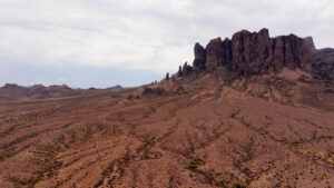
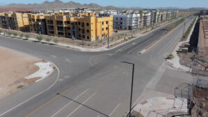
Drone Photography & Videography in Northern Arizona
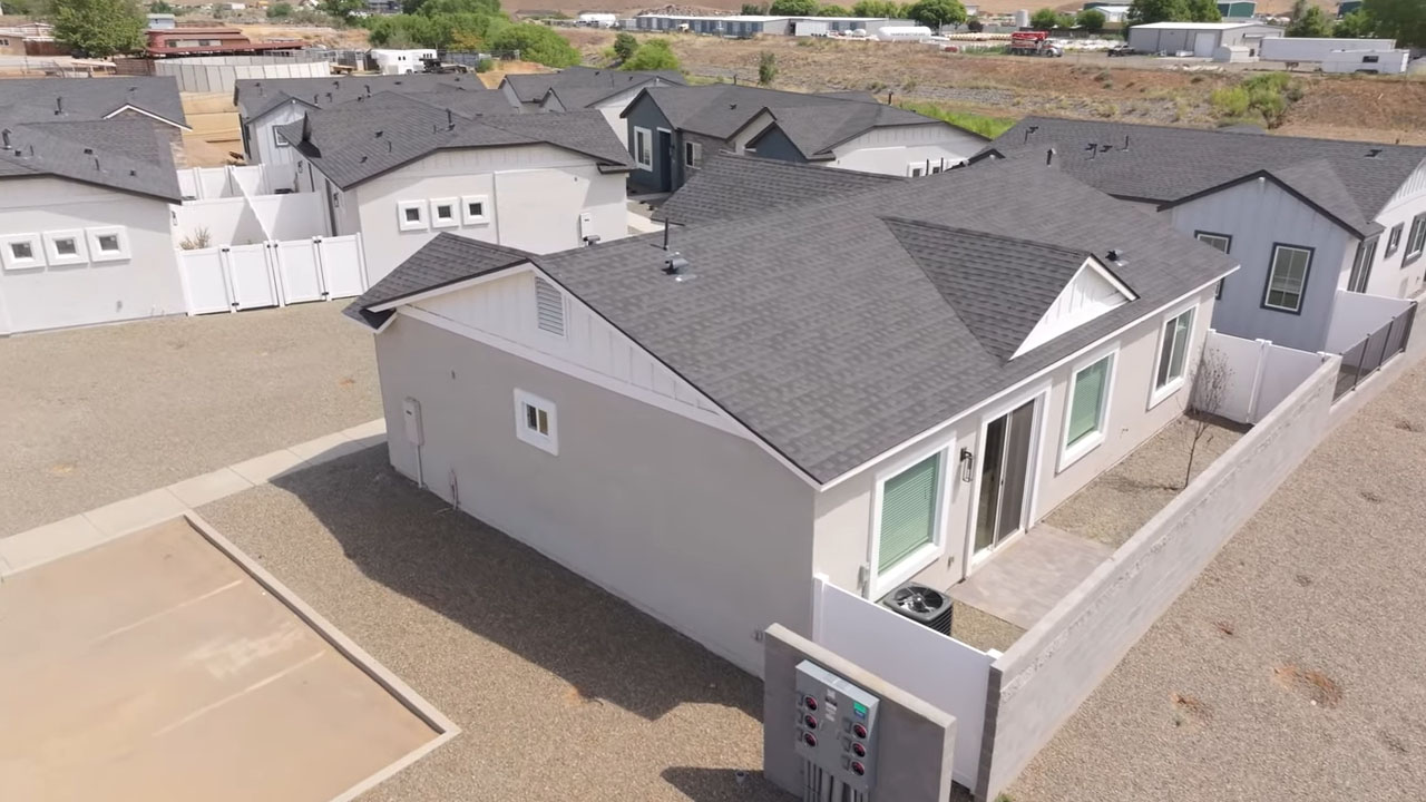

From wide-angle aerial landscapes to close-up details, our drone photography and videography services give you the perspective you need.
Whether we're doing a project in the mountains of Flagstaff or the red rocks of Sedona, there's plenty of beauty to capture in the northern half of our state. Reconn Services has licensed and insured FAA-certified drone pilots capable of capturing whatever project, event, or marketing materials needed to make your project a success!
Perfect for:
Agriculture Projects
Tourism and hospitality marketing
Commercial development projects
Event coverage
Drone Video/Photo
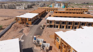
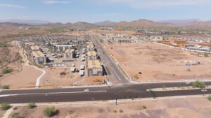
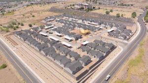
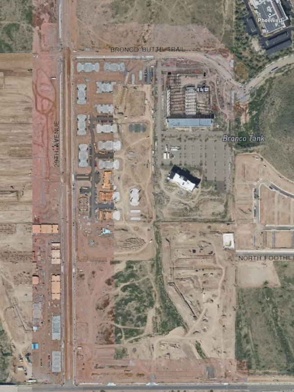
Aerial Construction Progress Documentation in Sedona, Flagstaff, Prescott
Keeping construction projects on track is easier with consistent aerial updates. Our drone construction progress monitoring services provide detailed photos, video, and reports that lenders, investors, and stakeholders can rely on.
We create repeatable flight paths and consistent shot angles so you can track every stage of progress with accuracy.
Construction Monitoring
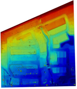
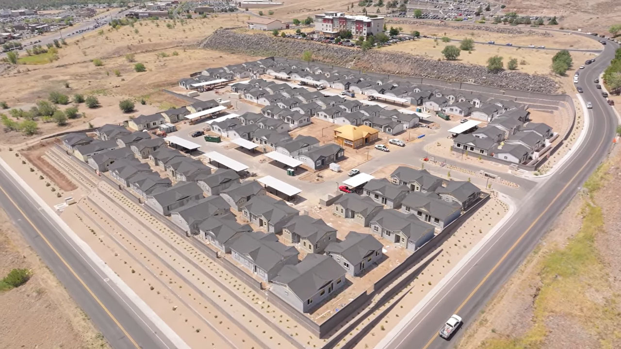
Aerial 3D Mapping for Northern AZ Projects
Our 3D mapping services give you detailed, measurable site data that goes far beyond photos and video. Using advanced drone technology, we create accurate maps and models that help you plan, track, and report progress.
Orthomosaic maps (2D) for up-to-date site plans and overlays
3D point clouds for measurements, clash checks, and coordination
DSM/DTM surfaces for grading, drainage, and terrain analysis
Volumetrics & cut/fill to track earthwork with time-stamped audits
Deliverables for CAD/GIS with RTK/GCP workflows for higher accuracy
3D Site Mapping
Book drone services in Sedona, Flagstaff, Prescott, and Beyond!
If you’re searching for professional aerial photography or drone videography services in Northern Arizona, our team is ready to help. Contact us today to schedule your project and see how we can support your goals from the air.
Request a Quote