
3D Drone Mapping
Drone-powered 3D site scans that deliver accurate maps and progress tracking for construction, agriculture, and land management projects across Arizona
Request a Quote
Arizona's Premiere 3D Drone Mapping Services
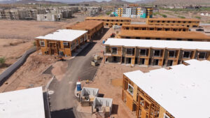
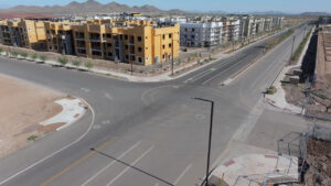
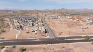
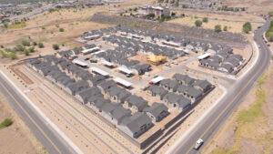
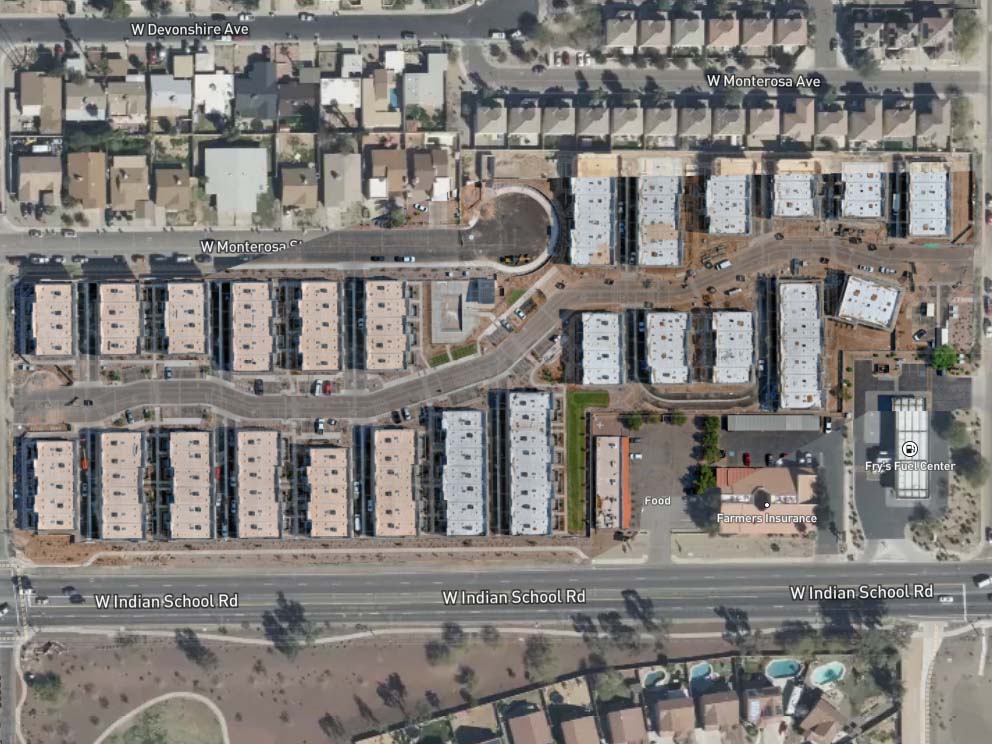
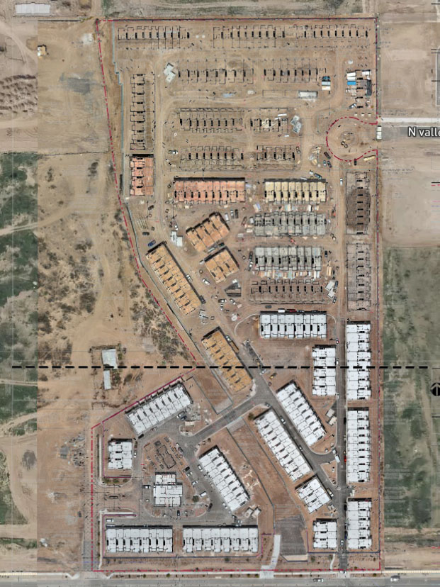
Reconn Services delivers high-resolution 3D drone scans for Arizona projects, giving you a complete, interactive view of your job site.
By capturing thousands of precise aerial images and stitching them into a navigable model, we make it easy for your team to track progress, catch issues early, and make confident decisions.
By capturing thousands of precise aerial images and stitching them into a navigable model, we make it easy for your team to track progress, catch issues early, and make confident decisions.
Perfect for:
Agriculture Projects
Construction and Contracting
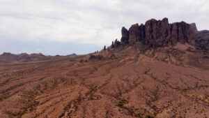
Land Management

Why Use Aerial Drone 3D Data Capture?
Real-time visibility
Explore your site through a web viewer from any location.
Unmatched Accuracy
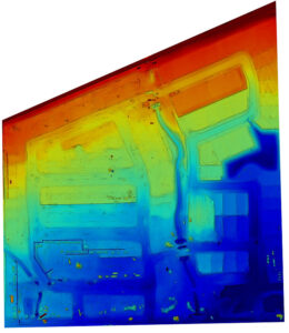
When working with a licensed surveyor, our high-resolution imaging and positional data capture every detail, from open trenches to rebar grids.
Data You Can Act On
Measure stockpiles, estimate cut-and-fill volumes, and overlay building plans directly on the scan.
Clear Communication
Provide stakeholders with an easy-to-use visual tool that builds confidence and transparency.
How it Works
Drone Imaging
We capture thousands of overlapping images using professional-grade drones equipped with precision GPS.
3D Modeling
The images are processed into a detailed, accurate model of your site.
Interactive Viewer
Your team gets access to an intuitive web viewer for exploring, measuring, and analyzing the site.
Data Overlays
Grading and building plans can be added directly on top of the scans for seamless comparisons.
Applications Beyond Construction
Agriculture
Monitor plant health, perform stand counts, and track seasonal changes.
Mining & Resources
Assess terrain, identify erosion patterns, and monitor environmental changes over time.
Land Management
Assess terrain, identify erosion patterns, and monitor environmental changes over time.
See the Difference with Reconn Services
At Reconn Services, we combine years of drone expertise with deep knowledge of construction and land development. Our drone 3D mapping services provide more than just visuals—they’re actionable tools designed to keep your project on track.
Request a Quote