
Drone Services Covering Southern Arizona
From Tucson to Sierra Vista and throughout Pima, Cochise, and Santa Cruz counties, our team provides FAA-certified drone services that save time and deliver the visuals you need.
Request a Quote
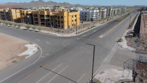
Aerial Photography, Videography, and Mapping Serving Tucson, Yuma, and Surrounding Areas
We specialize in drone photography, aerial videography, construction progress documentation, and 3D mapping—helping builders, developers, and businesses manage projects more effectively.
Why Yuma, Cochise, and Pima County Teams Choose Us
Certified & Insured
FAA-certified drone pilots with full insurance coverage
Local Knowledge
We are Arizona locals with experienced flying in Southern Arizona’s unique terrain and airspace
Accurate Deliverables
High-resolution photos, 4K video, and precise 3D mapping outputs
Business-Focused
Services tailored for construction, real estate, and commercial clients
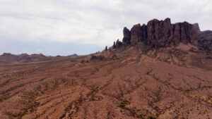
Southern AZ Drone Photography & Videography
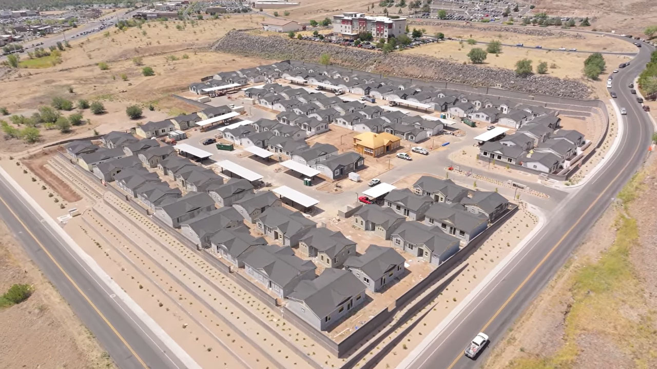
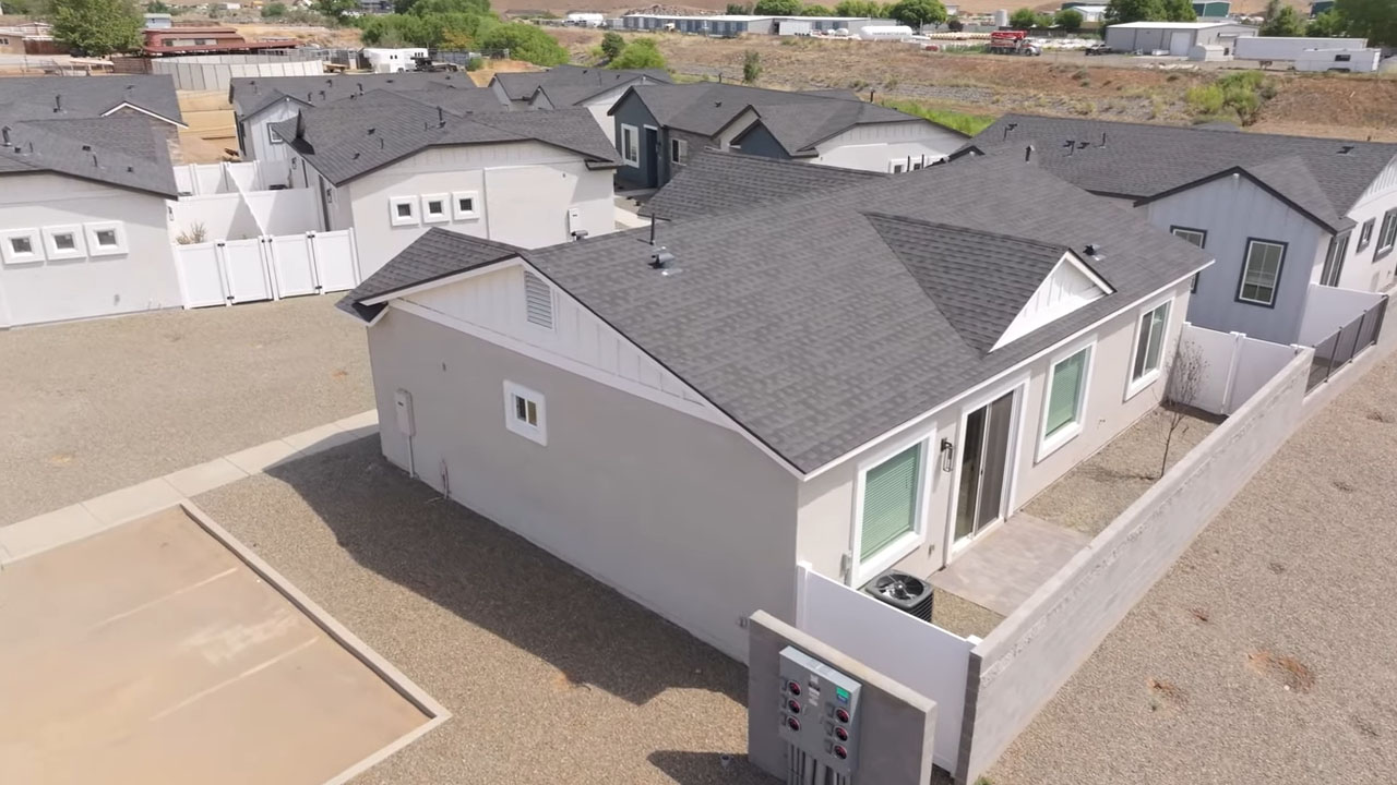

Showcase your properties, projects, and events with professional drone photography and videography. Our aerial visuals capture both the scale and detail that ground-level cameras can’t, making them ideal for real estate, commercial marketing, and community events.
Perfect for:
Agriculture Projects
Tourism and hospitality marketing
Commercial development projects
Event coverage
Drone Video/Photo
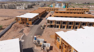
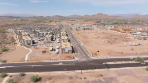
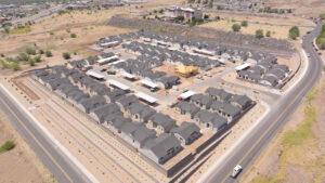
Aerial Construction Progress Documentation in Yuma, Tucson, Sierra Vista, and Surrounding Areas
Skip long site visits and keep your stakeholders updated with consistent aerial progress reports. Our drone construction progress services provide repeatable images, videos, and reports tailored to the requirements of your clients, lenders, or investors.
We create repeatable flight paths and consistent shot angles so you can track every stage of progress with accuracy.
Construction Monitoring
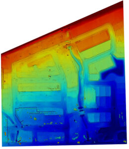
3D Drone Mapping in Southern Arizona
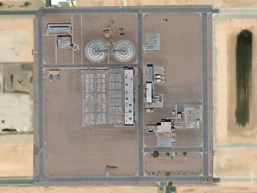
Our 3D mapping services create detailed site models and maps that support planning, tracking, and reporting. From orthomosaic maps to volumetric calculations, we provide the data you need to make informed decisions.
Orthomosaic maps (2D) for up-to-date site plans and overlays
3D point clouds for measurements, clash checks, and coordination
DSM/DTM surfaces for grading, drainage, and terrain analysis
Volumetrics & cut/fill to track earthwork with time-stamped audits
Deliverables for CAD/GIS with RTK/GCP workflows for higher accuracy
3D Site Mapping
Book Drone Services in Southern AZ
Whether you need marketing visuals, construction documentation, or 3D mapping, our aerial drone services are designed to fit your project. Contact us today to schedule drone services in Southern Arizona.
Request a Quote